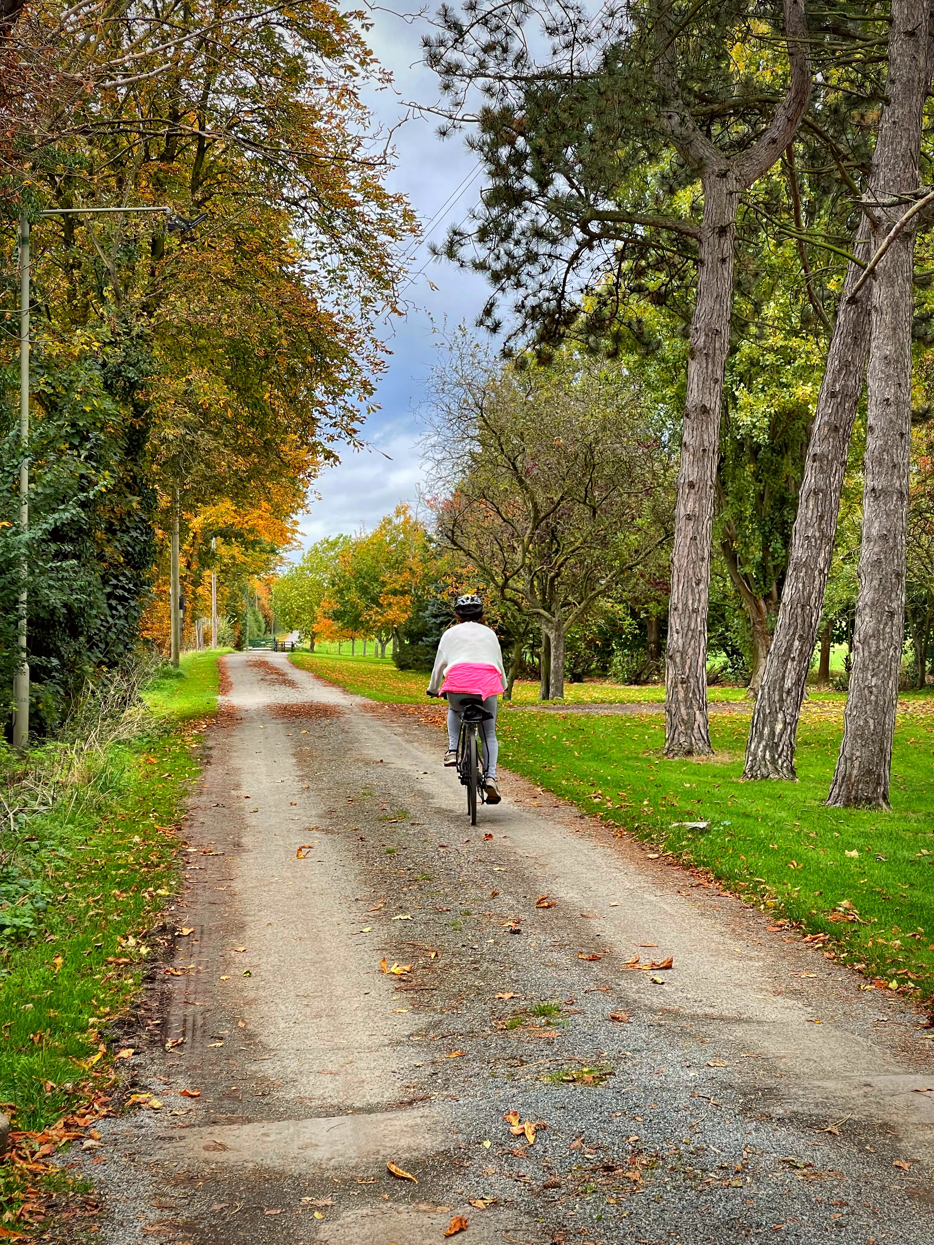
Out exploring Bedfordshire with your bike and camera just before Sunrise
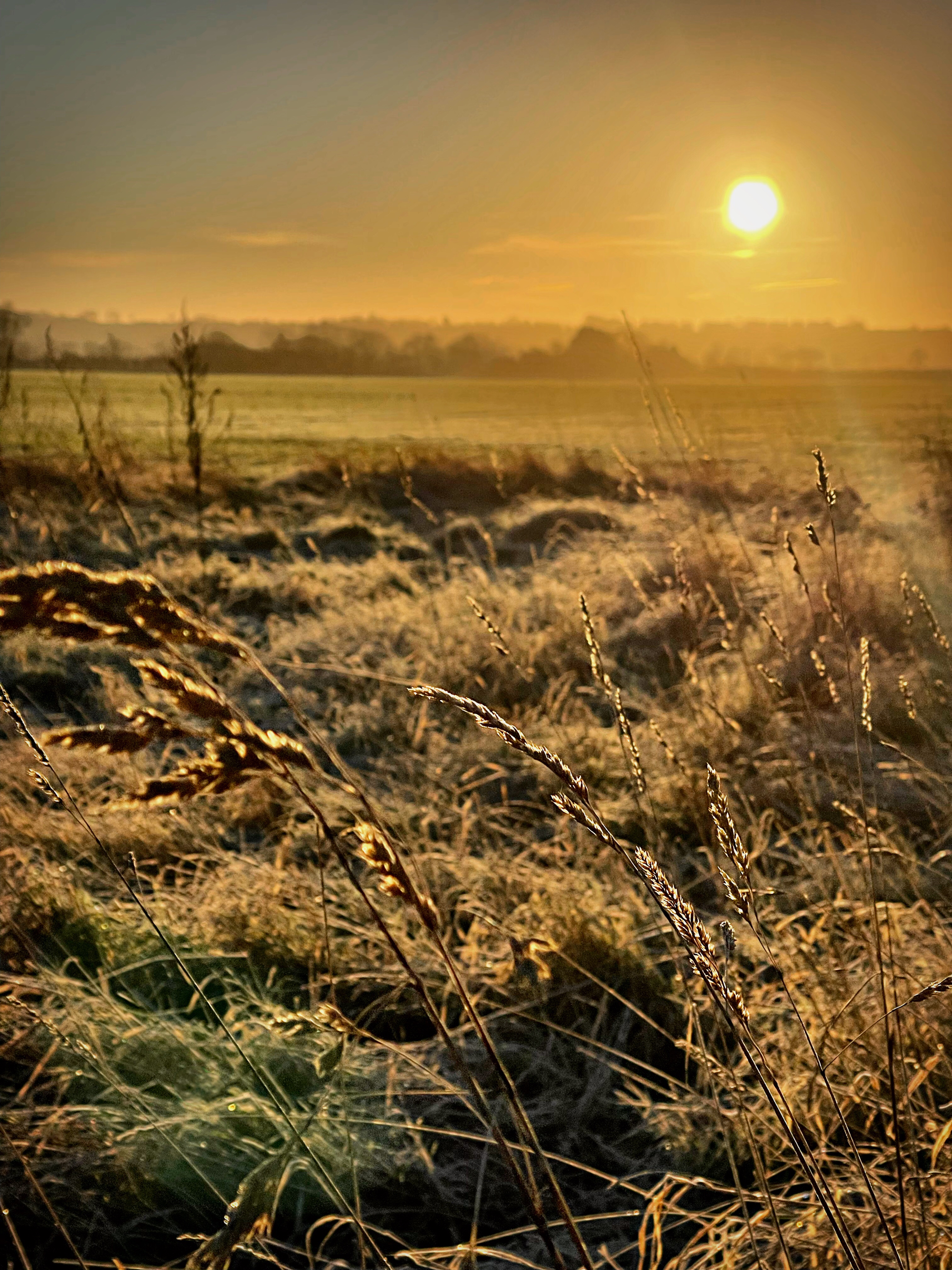
Currently we are being spoilt with the most amazing frosty mornings, creating amazing photographic opportunities. Crisp mornings, vibrant skies, fog and mist and of course frost and freezing temperatures which often create dynamic contrasts and visually stunning images.

I enjoy getting out and about early before the sun rises and enjoy the early morning light that is created during the golden hour both before, during and after the sun has come up. The peace of the countryside interrupted only by birdsong, and wildlife stirring and calling.

Bedfordshire is a county found in the East of England and is blessed with lots of agricultural land, woodland, nature reserves, waterways as well as Market Towns and characterful villages and architecture. As a result the county has varied scenery and is surrounded by the counties of Cambridgeshire, Hertfordshire, Buckinghamshire, Essex and Suffolk.

I live in the 13th Century Market Town of Shefford, which is surrounded by woodland, agricultural land, waterways and stunning architecture steeped in history and a large amount of investment in creating green spaces by the town council. There is easy access to many of the local villages and surrounding towns by footpaths and bridleways making access to some of the most amazing photographic opportunities.


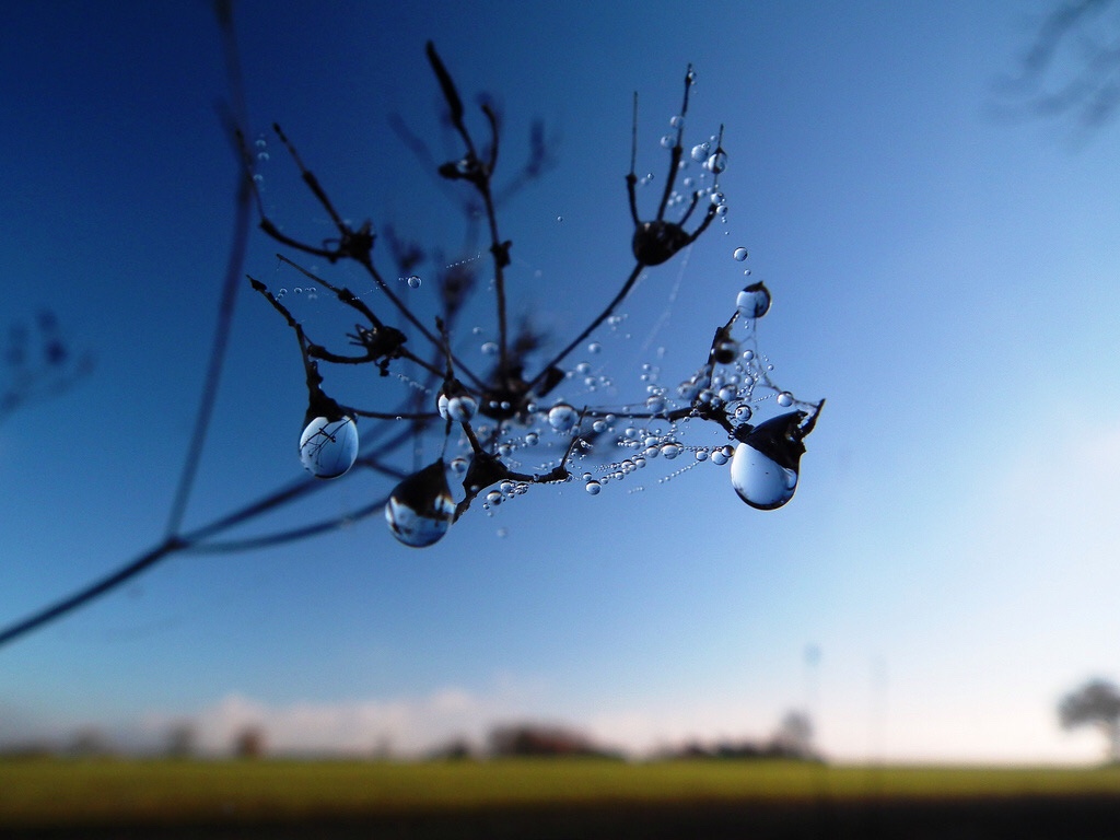
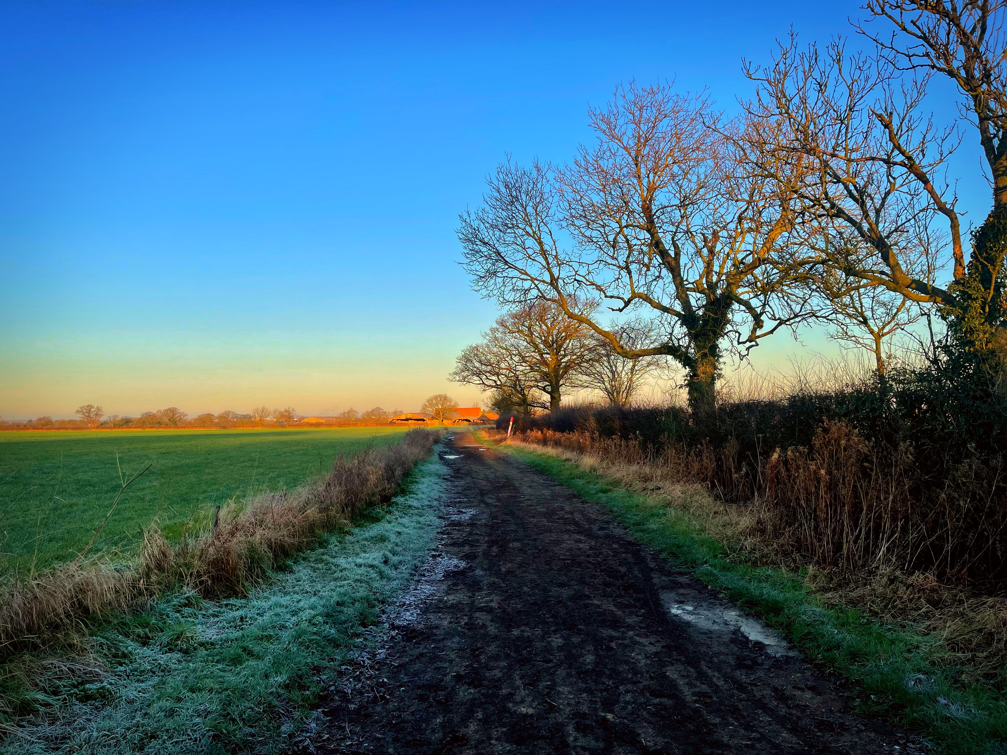
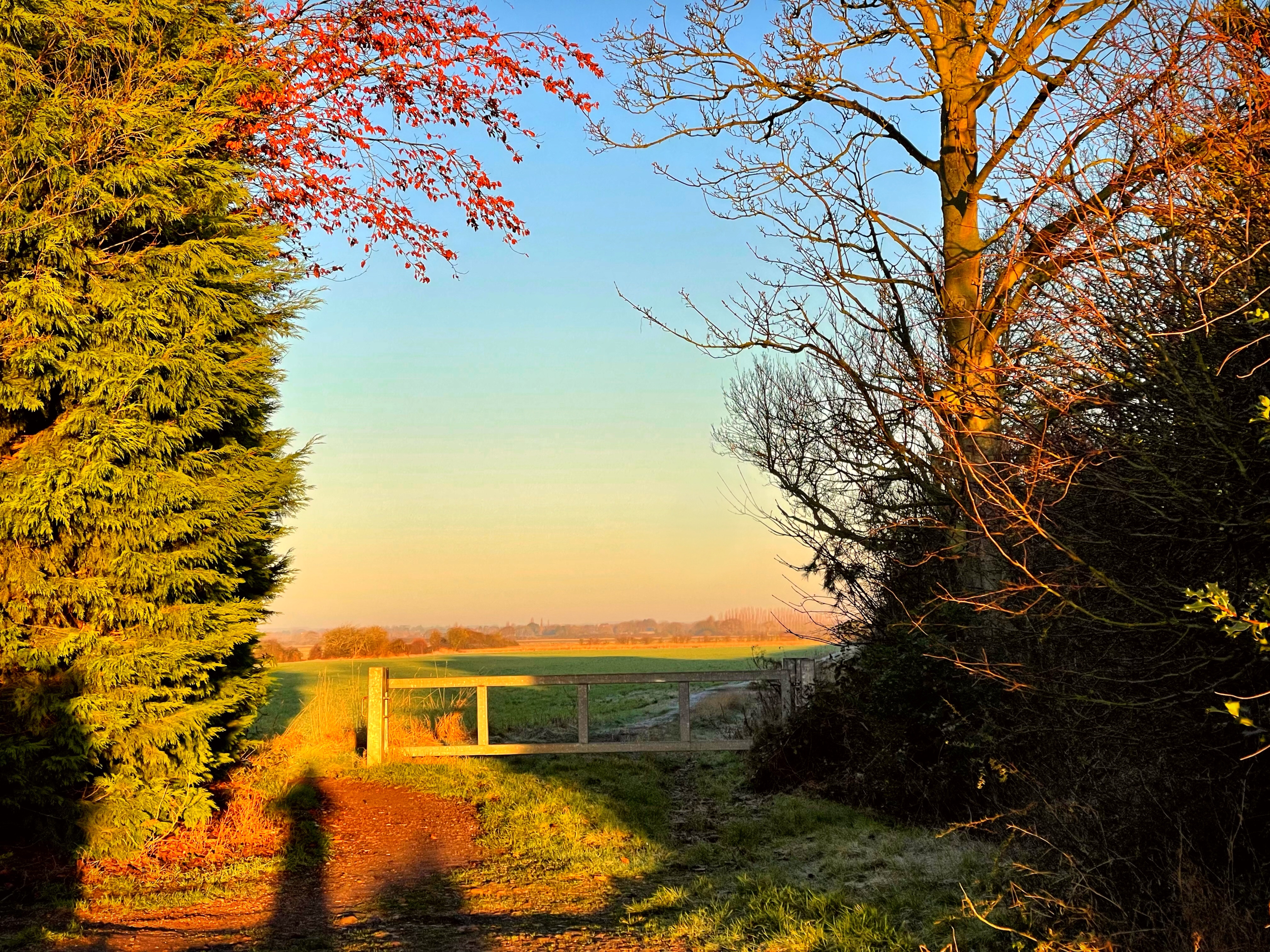
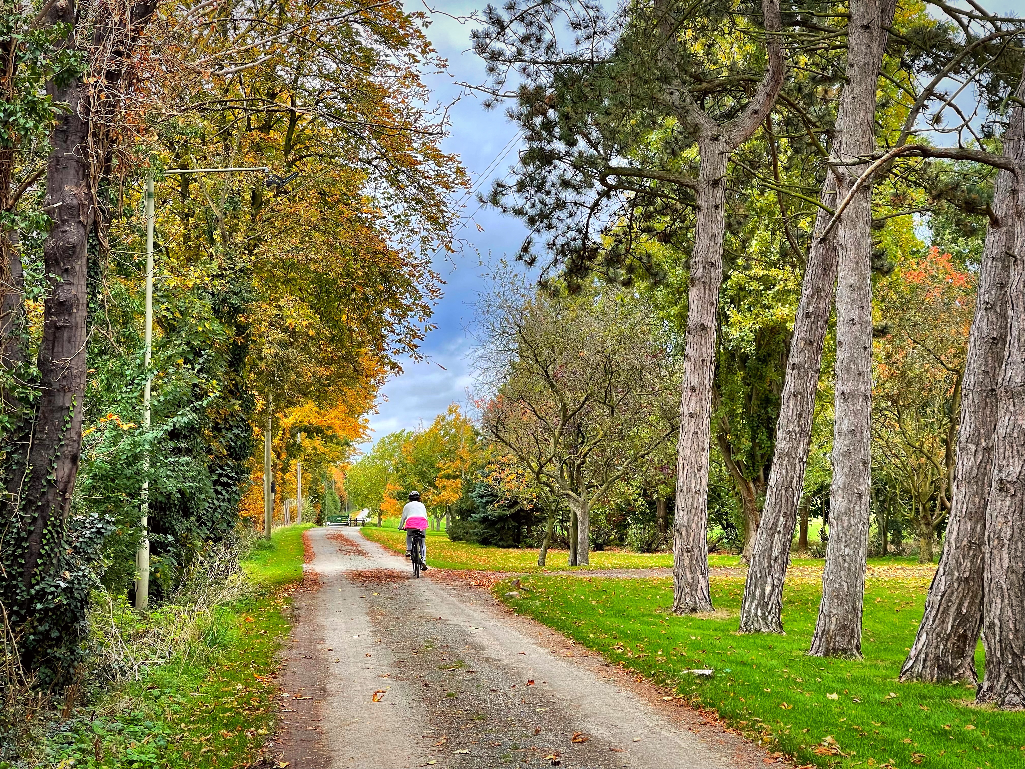
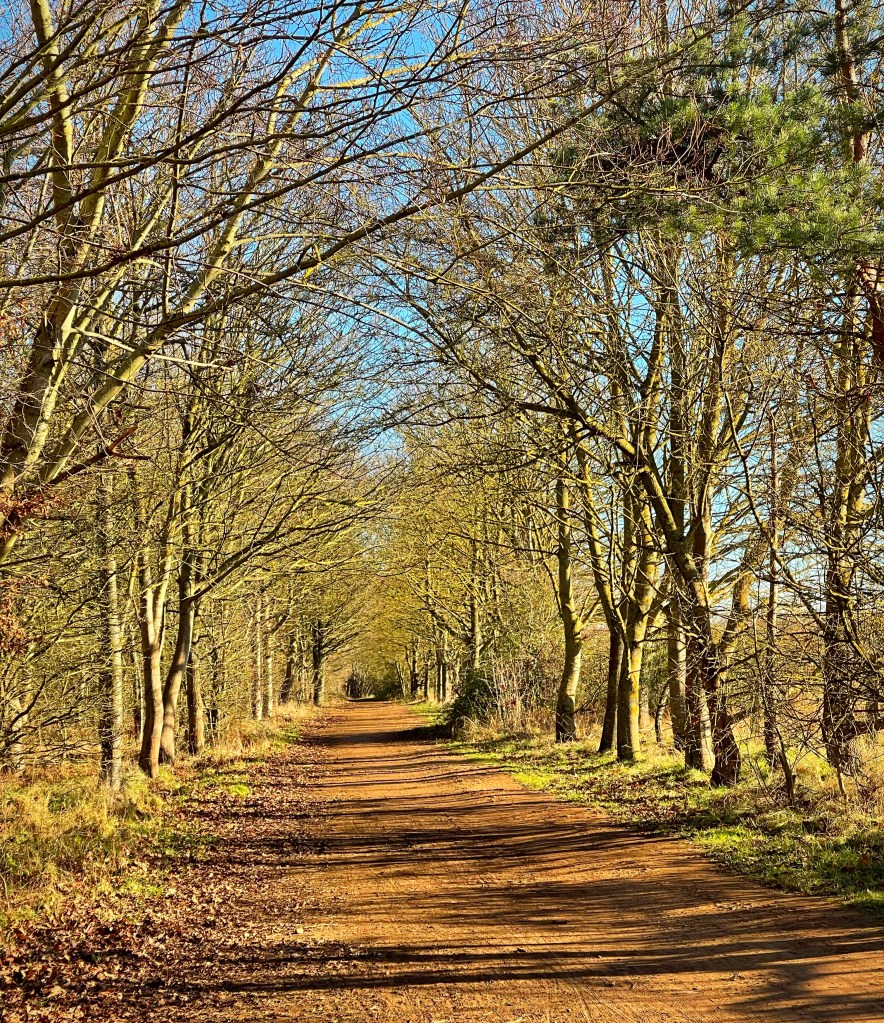
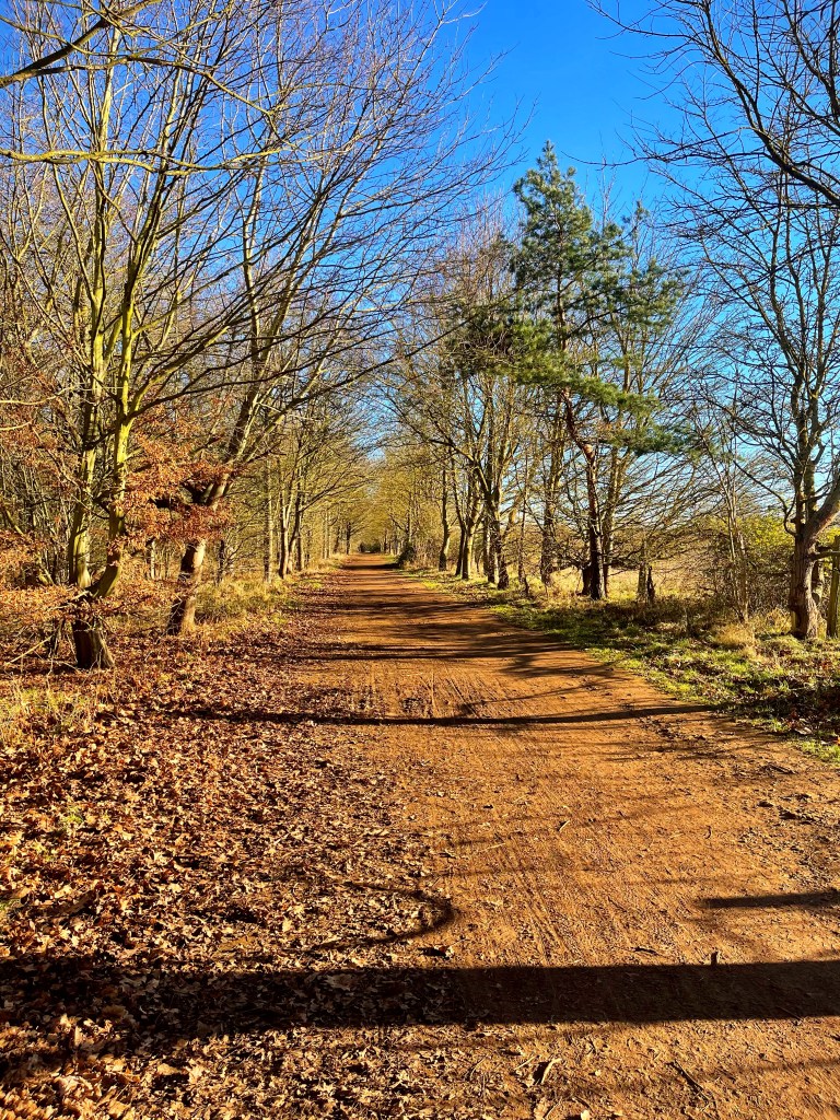
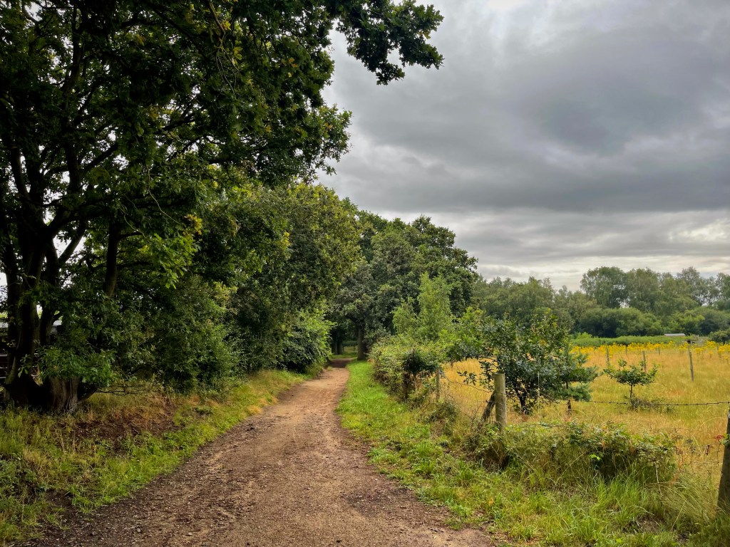
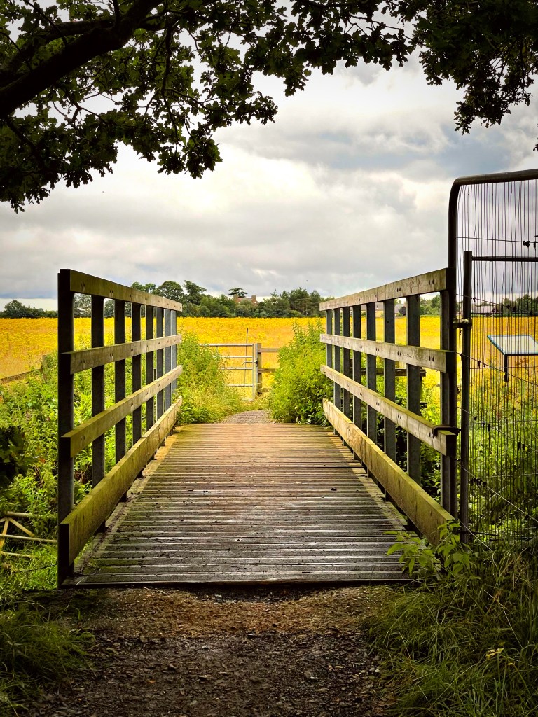
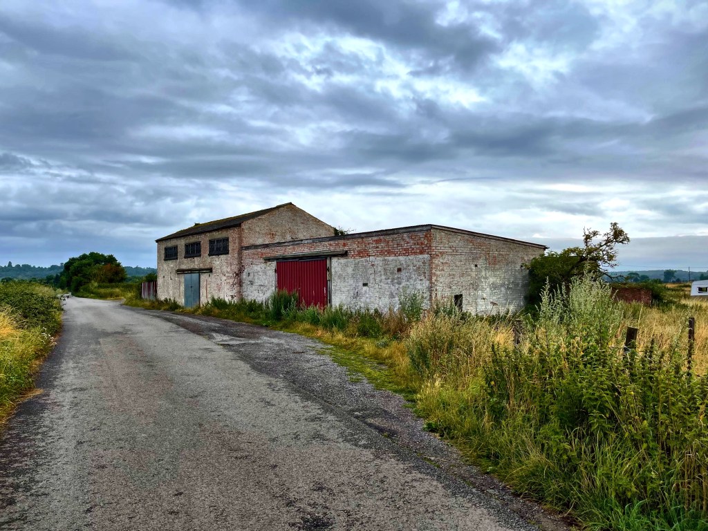
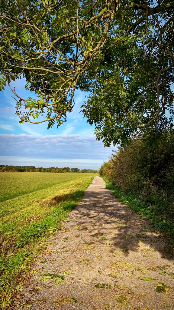
Heading out of Shefford along the Bedford Road towards Chicksands and Haynes you have a variety of footpaths, bridleways and hard packed paths allowing you access to some amazing countryside which is where the first three photos in this blog were taken. I crossed the roundabout and came off the 2nd exit onto the off road John Bunyan Trail. I travelled along this route which is a long hard packed track towards Haynes.
At the end of the trail I turned right at Appley Corner and onto the Standalone Warren Road, at the end of this road I turned left towards Haynes Village on the Northwood End Road.
I headed through the village of Haynes, past the Greyhound Pub on my bike and then towards North Street and rejoined the John Bunyan Trail, this is all off road and goes through farmland and takes you into Elstow.
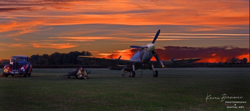
As you drop down the 10% gradient of Haynes Hill, you are met with unspoilt views over Bedfordshire, on a clear day you can see for many miles. Just a word of warning if you are riding a Gravel Bike as opposed to a Mountain Bike the route can be very wet, muddy and slippery at certain times coming up or down the 10% gradient, so would advise you have the right type of tyres to get the best out of the route. The famous Cardington Hangers where the Airships were made and are now used as film studios for Warner Brothers are on your right as you get down into the lower valley and further along the John Bunyan Trail.


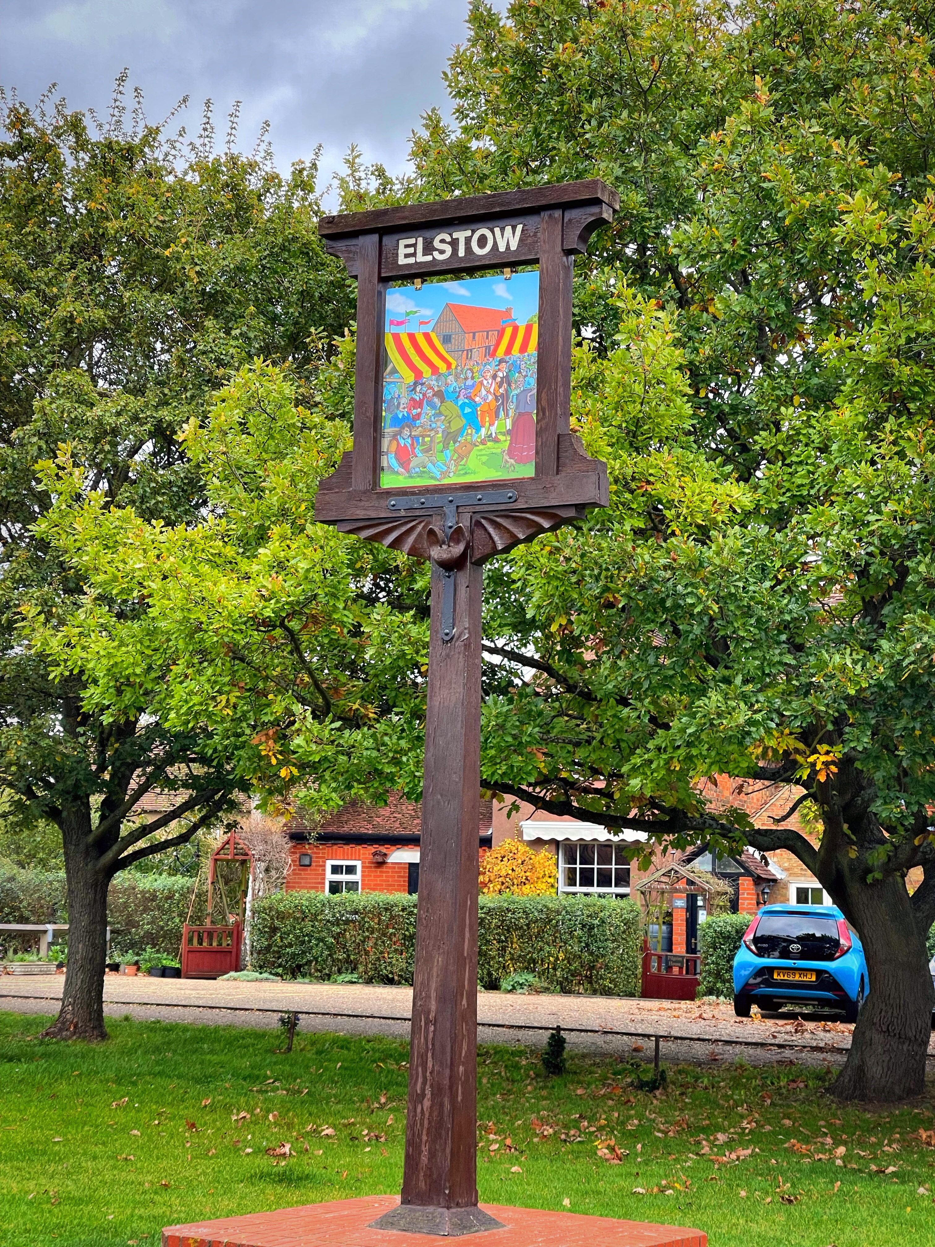
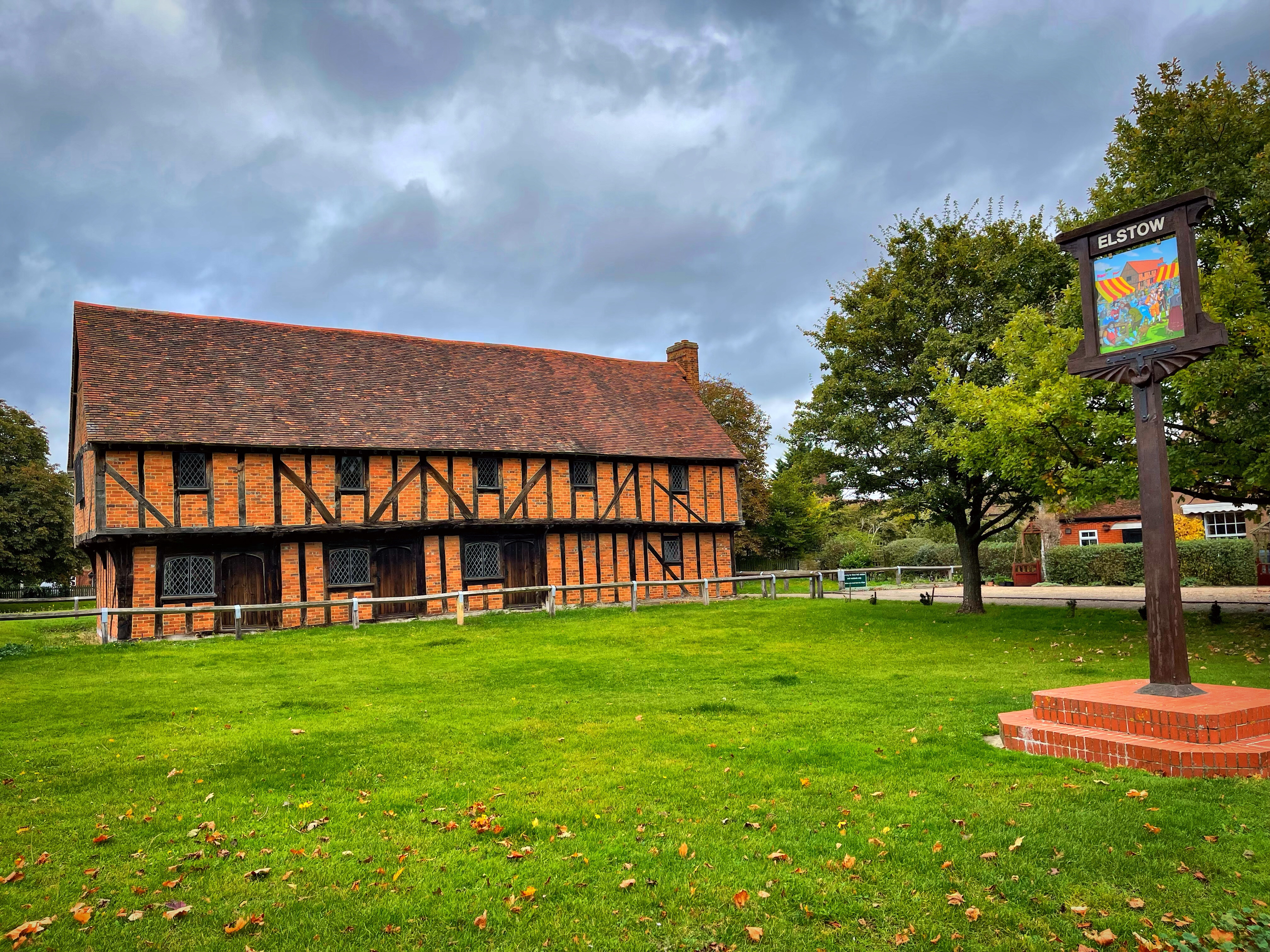
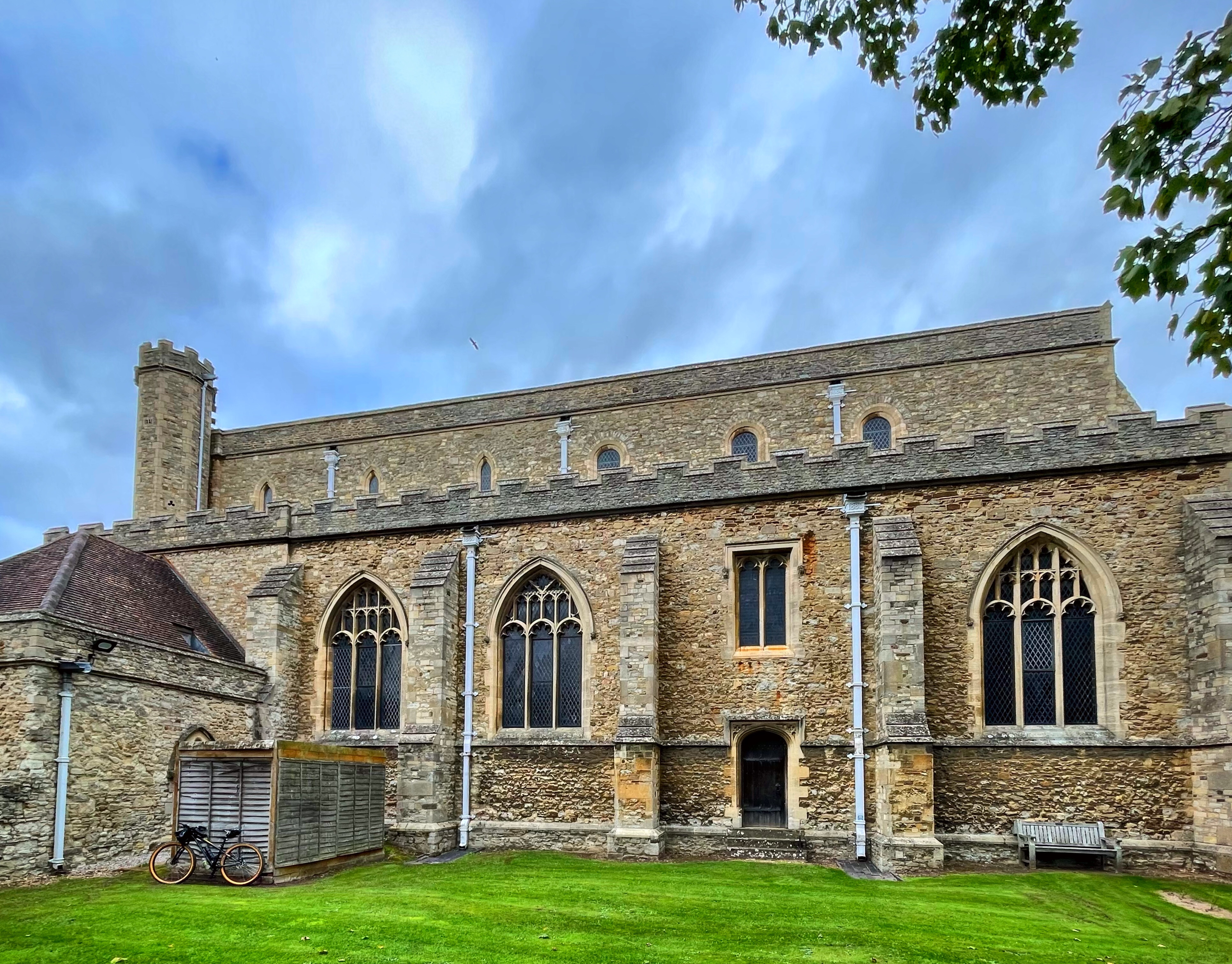
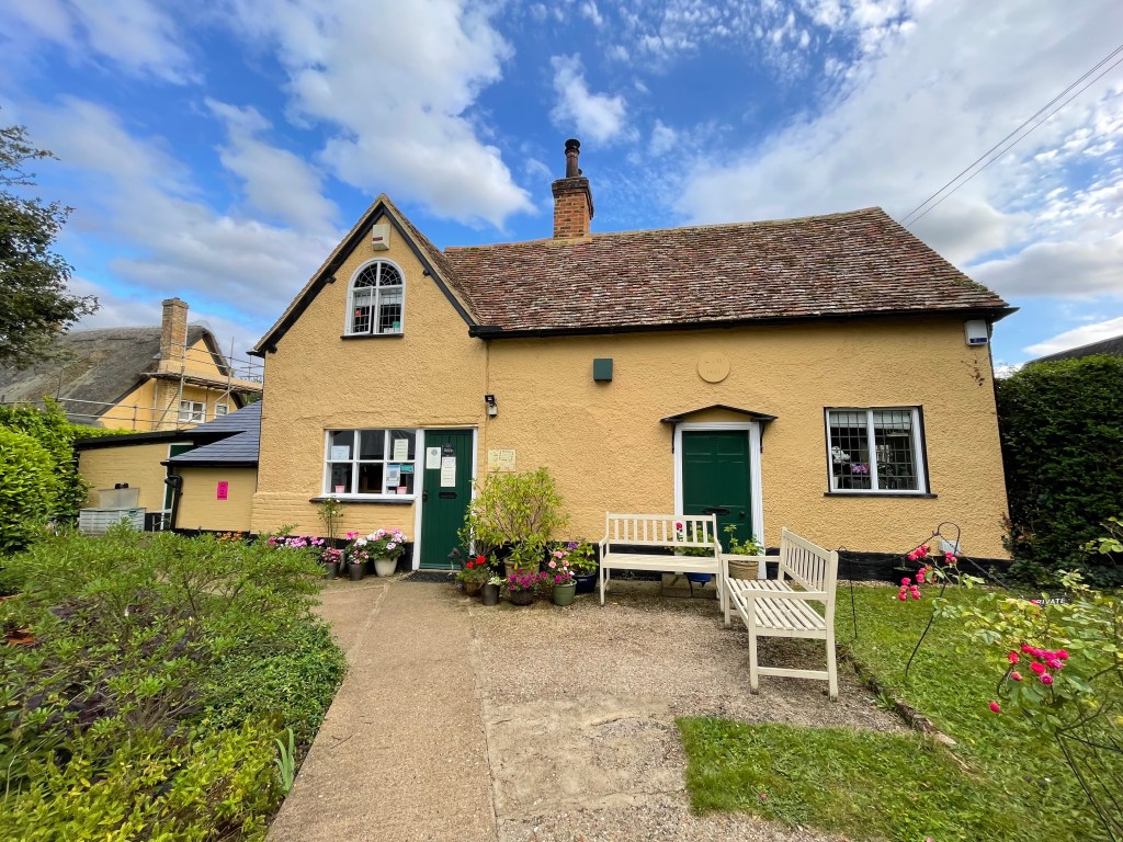
As you approach the end of the John Bunyan trail you merge onto Medbury Lane and turn right which joins Wilstead Road and this takes you into Elstow. Elstow is a lovely village and without a doubt Elstow Abbey and the Moot House are both places to stop and appreciate. Elstow Abbey was a Monastery founded in 1075 for the Benedictine Nuns.
There is a main route via the road via the High Street in Elstow, if riding a bike through the village which then picks you up onto the National Cycle Paths just as you leave the village on the West End Road that leads you out with the Village shop on the corner on your left hand side.


From Elstow I picked up the local cycle path and headed through Bedford. I rode along Spring Road and then turned right onto the National Cycle Route 51 which runs alongside Bedford Road, opposite the Old Prison Building which is now an Army Reserve Centre, is a War Memorial which is a good place to stop and remember those who gave their lives for the freedoms we enjoy today.


Just after the War Memorial, on the left it is signposted for the long distance cycleway, this takes you along a residential area, over a footbridge over the Great River Ouse, past a Mosque, through another residential area and then a trail past some allotments before emerging and turning left onto the Bromham Road. From here I followed the cycle route all the way to Bromham Watermill, just before the mill is a beautiful old stone bridge, with lovely views either side. Bromham Watermill is a great place to stop especially if on a bike as there are plenty of places to leave your bike safely and grab a coffee and a cake at the great cafe they have there. I can highly recommend the homemade Raspberry donuts!


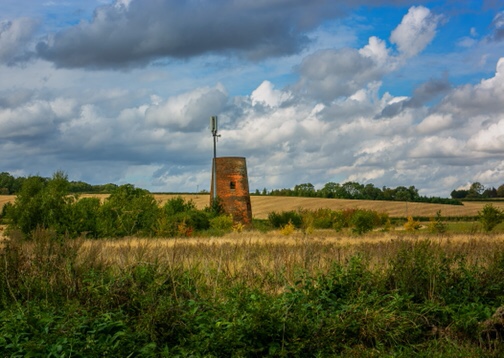
Leaving the Mill, I turned right onto the main road through Bromham itself, a lovely village with plenty of character and nice wide roads. From here I headed out towards the Oakley Road Bridges, these are a set of two narrow stone bridges. After the second bridge I stopped and there are views across to Stevington Windmill. Sadly I was unable to get photos from there as the bridge is so narrow and there were a lot of cars, however I highly recommend you take in the views here.
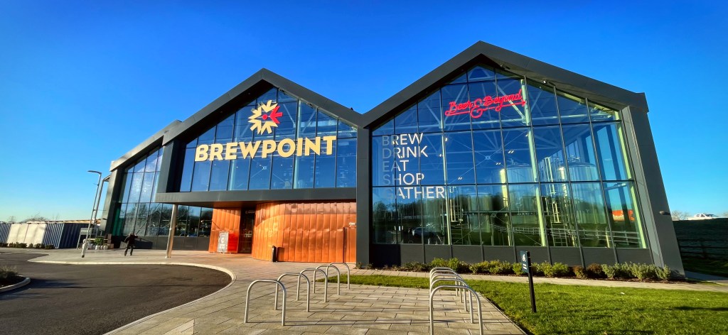
Leaving Oakley, I headed along the National Cycle route 51, along Lovell Road to the Interchange with the Paula Radcliffe Intersection. There is a relatively new brewery there called Brewpoint, with an amazing building and those of you into brewing and beers and ales it’s definitely worth a visit.
I rejoined the National Cycle 51 route and headed along the Oakley Road eventually into Clapham. I rode along the High Street and eventually joined the Bedford Road into Bedford. I passed by the Hill Rise Nature Reserve before heading into Bedford Park.
Bedford Park is a fantastic green space with lots to see and do there for all and one of the highlights has to be the Pavillion Cafe where I treated myself to a toasted teacake and strawberry jam washed down with a Mocha.


After leaving Bedford Park I headed out of Bedford towards the Priory Country Park, this is a wonderful area with plenty of opportunities to take photos of wildlife, water, and many other areas of interest. It was here that I again joined the National Cycle Route 51. This runs along the Great River Ouse and there are many places of interest to stop and take in views, and photos.
The route takes you over the Bypass and then down into Danish Camp, and eventually the National Cycle Route 51 joins the National Cycle Route 12. Again there are many opportunities for taking in views, photos and various different routes to cycle. You can even hire a boat and cruise down the river or stop at the cafe/restaurant at the main Camp itself.

The National Cycle Route 51 takes you from Danish Camp continuing to follow along the Great River Ouse, past the big lock gate and then some quarry works and it merges to become National Cycle Route 12 and eventually into Sandy, emerging in a residential cul de sac which you will feel completely out of place and think you’ve gone wrong but this is where the route ends before turning right out of the cul de sac. The cul de sac is Old Station Court, and from here you will turn right onto Station Road. Just after the railway bridge you will turn left to rejoin the National Cycle Route 12 and this is a further off road hard packed trail which you will follow until it merges with the Greenway Cycleway in Sandy High Street.
You will turn left onto the High Street, continue along this road, over the railway bridge and turn left onto the Swaden Road, follow this road it’s a slight climb and it then merges with Everton Road. Continue a short distance along the Everton Road, it’s a dark road with lots of tree cover, so do make sure you have lights so that you can be seen, and then you will see a sign for RSPB off road, this is another off road route taking you through a hard packed trail until you meet with the junction of the main Potton Road, opposite the RSPB Sandy Site. There are a set of traffic lights which makes crossing here very easy. The route continues through the RSPB site and you will see the cycle path goes through the woodland eventually coming to a gate at the end. You will continue straight here onto Biggleswade Common.


All along this route are many places to stop and take photos, woodland, wildlife, scenery and even architecture and I think you will find it an interesting route and one that you have missed or not joined up before, but definitely a must to do. You will often see cows and sheep on the common grazing.

As you leave Biggleswade Common, you continue along the Cycle Network 12 through the town centre of Biggleswade, again if you want to stop for a drink or something to eat there are many cafes and places in and around the main Market Square area. Be aware there are a number of one way streets and it can become a little confusing as to which route to take so keep an eye out for the signposts so you don’t get lost.
You head out of Biggleswade via Mill Lane and head towards the old watermill, you will cross over the small bridge there, on your right hand side you will see the colourful array of fairground rides stored by Harris Fun Fair, just opposite there on your left you will turn left onto the main hard packed cycleway. This takes you along an open countryside area where the remains of Biggleswade Castle once were and although there are no formal remains or ruins, at certain times of the year the field and vegetation reveal where it once stood.
The route joins the river walk for a tiny section and your pass under the bridge under the A1, it’s a very narrow low bridge and very dark and very wet. It brings you out onto a lovely gravelled cycle path, the Kingfisher Way, if you turn left it will take you to Jordan’s Mill and turn right and you will head towards Shuttleworth.
I turned left as I emerged from under the bridge in the direction of Jordan’s Mill, from here I followed the route to the road and turned right onto Southill Road into Broom. Broom is a lovely village with a big green, plenty of interesting walks and bridleways to explore and the unusual 1830’s Cock Inn that doesn’t have a bar.
I continued along Southill Road until I met the main intersection with the B658. It’s a fast road with a staggered junction and at certain times can be tricky to cross. You cross straight over this road onto the main road that takes you into Southill. You soon merge with the High Street and just after a left hand turn to go to Stanford, you have the village hall and then the Southill Village Tearooms and shop. A great pit stop for cyclists and walkers alike and there are some stunning properties that form part of the Samuel Whitbread and Shuttleworth Estates.
Leaving Southill heading towards Ireland you start to approach a slight incline, on your left hand side is the White Horse at Southill Pub, this is definitely worth a stop for a quick pint, drink, meal or snack.

As you leave the pub you turn left, onto Southill Road, past the tree farm on your left hand side and it’s worth keeping an eye on the woodland on your right for deer and birds of prey.
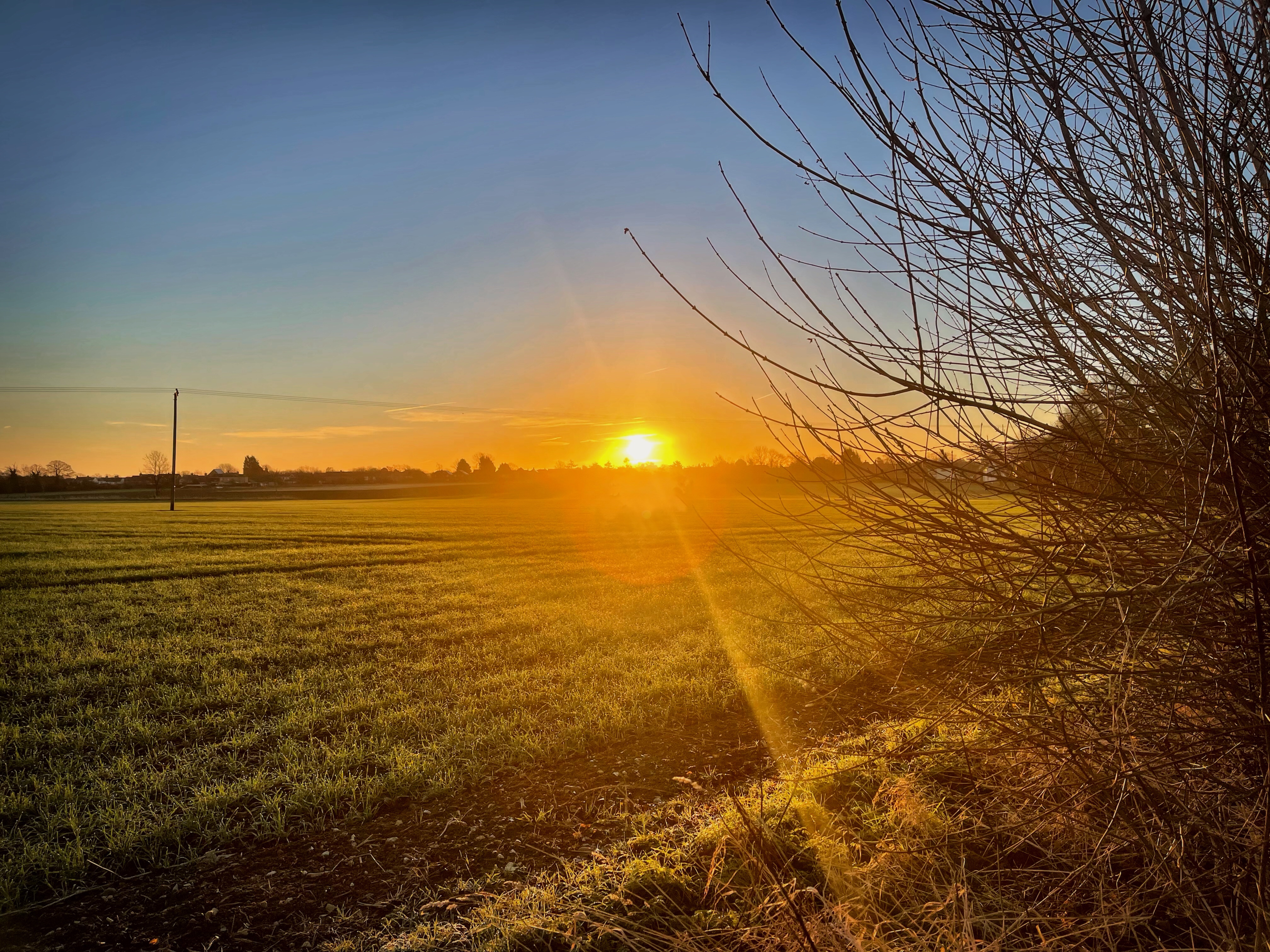
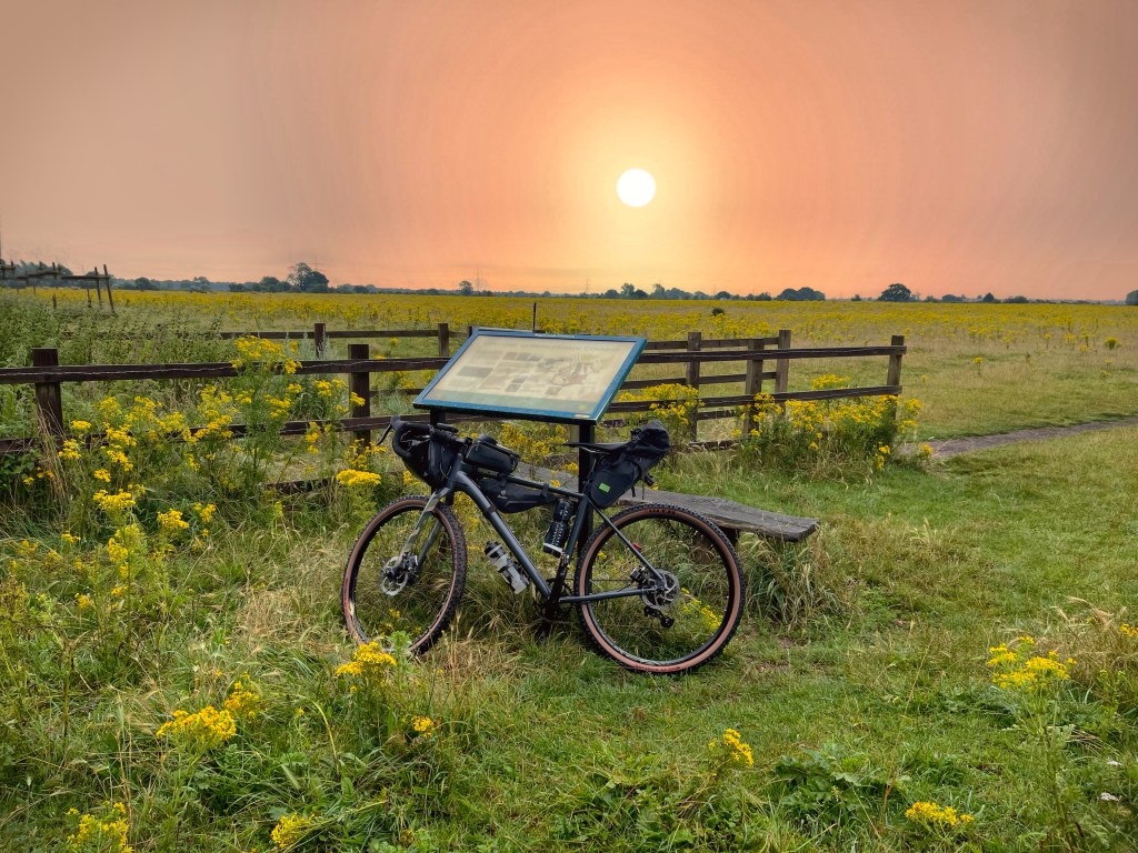
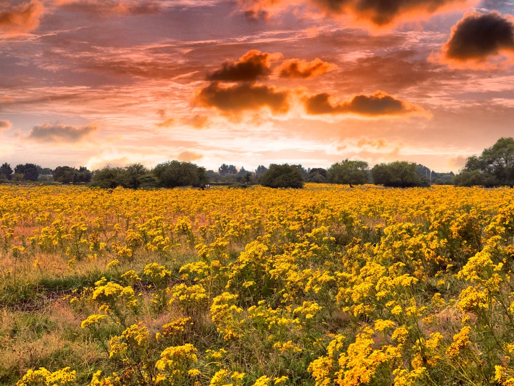
You come to a junction where I turned right onto the road towards Ireland and Shefford. You can either continue along this road or if you wish to go off road at this point there is a cycle path a short distance along this road on your left that takes you into Shefford. There are so many opportunities for photos along this part of the road and I have got some lovely sunset shots that you can see below.


Continuing along this road, you come to a bridge over a disused railway, you will follow this road around to the left and up Ireland Hill and a great descent back down into Shefford.
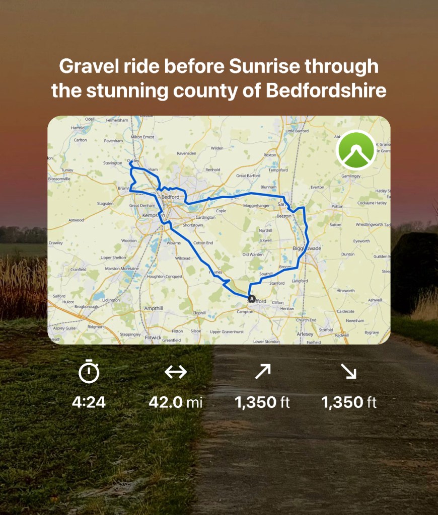
I hope that you have enjoyed this blog and the opportunities that you take using your bike to explore areas with your camera. I have used my iPhone 12 Pro Max as my camera of choice for this ride, it’s great on a bike as it’s not too heavy to carry, it tags my location and various other metadata, and allows me to plot my route. I pre planned this route using the app called Komoot and have attached a summary of the ride and map in the final photo. The total mileage for this route was 42 miles and the time depends on how many places that you stop but to really make the most of this, plan to do it in a day and enjoy it.
Thanks for reading my blog and I hope that it inspires you to get out and explore either this area or your local area. If you’d like a copy of the route I used please get in touch. Cheers Karen.

